
Master’s Degrees Online
Daniel S., MPS in Environmental Studies and Sustainability
Your green light
to a green career.
Demand for green jobs in the US is up more than 50% since 2019, according to data compiled by Lightcast and Working Nation. This trend is projected to continue indefinitely.*
Unity master’s programs are designed specifically to help you meet that need while getting a degree that aligns with your passion for the environment.
*United States Department of Labor’s Bureau of Labor Statistics, 2023
Degree Programs
Animal
MPS in Animal Science and Behavior

Turn your passion for animals into a career! The Master of Professional Science in Animal Science and Behavior program provides you with a deep understanding of human-animal interactions with an emphasis on animal companionship, behavior, and welfare.
By the end of this program, you’ll be ready for a career as an animal trainer, animal shelter manager, animal service provider, and more.
Business
SMBA in Behavioral Economics

Blend psychology, economics, and sustainability to lead positive change in marketing, consulting, and entrepreneurship.
This program emphasizes problem-solving and sustainable decision-making across diverse contexts. Graduates emerge prepared for impactful roles, equipped to promote eco-conscious brands, products, and services.
SMBA in Parks and Outdoor Recreation

Blend your outdoor passion with sustainable leadership, going beyond green space management to equip professionals with business acumen and environmental stewardship. This entails crafting green solutions, tackling environmental degradation, and promoting responsible practices across sectors.
Pursuing a Parks and Outdoor Recreation SMBA is a journey towards leadership dedicated to nature preservation and sustainability, pledging to shape a greener, more resilient future for outdoor enthusiasts and the planet.
SMBA in Sustainable Tourism & Hospitality

Ready to help the Hospitality & Tourism industry go green? With demand for green jobs being up more than 50% in the last 4 years, employers are currently looking to hire workers with green skills that can help transform their business operations.
By the end of this program, you’ll be prepared to assess sustainability risks, develop plans that generate positive social and environmental impacts, and work to improve and manage the ecological needs of hospitality companies. Most importantly you’ll be at the forefront of a green economy.
Data
MS in Environmental Data Analytics

Are you looking for a future that applies data-driven methods to tackle environmental issues, analyzing large datasets related to climate change, habitat loss, and more using statistical and computational techniques.
The insights gained inform decision-making in various sectors like environmental consulting, research, government agencies, nonprofits, and private companies. With growing demand for experts in environmental science and data analytics, this field is rapidly expanding to address pressing environmental challenges.
Health
MS in One Health
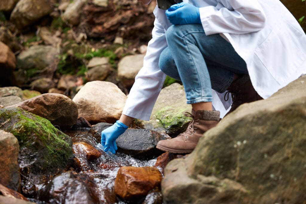
Explore and adopt an interdisciplinary approach, acknowledging the interconnection of human, animal, and environmental health with our One Health program. It fosters collaboration among sectors like human health, veterinary medicine, and environmental science, aiming for optimal health outcomes.
Recognizing the close link between the health of each domain, it emphasizes comprehensive understanding and collaborative strategies to prevent diseases, promote environmental sustainability, and ensure well-being for all living organisms.
Marine
MPS in Marine Science

Deepen your understanding of marine science, including oceanography and the implications of the global decline of marine biodiversity.
With this degree, you’ll be ready for a job as a marine project manager, marine scientist, or conservation biologist in the government and private sector.
MPS in Marine Policy and Management

Navigate the intricate seas of marine governance with a focus on sustainable development and ocean stewardship. This program integrates marine science, policy analysis, and management principles to address global challenges like ocean conservation, marine resource management, and climate change impacts.
Pursuing a degree in Marine Policy and Management equips you with the skills to influence policy decisions, advocate for marine conservation, and lead initiatives that ensure the health and sustainability of our ocean ecosystems for future generations.
SMBA in Blue Economy

Embrace the power of the ocean with Unity’s Blue Economy SMBA, blending marine science with sustainable business strategies. This program equips professionals to tackle ocean degradation, drive innovative solutions, and promote sustainable practices across marine industries.
Pursuing a Blue Economy SMBA is a commitment to leading marine conservation efforts and advancing a thriving, resilient blue economy for our planet’s future.
MS in Marine Conservation Biology
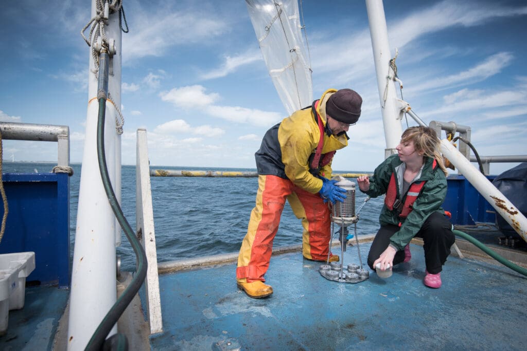
Dive into the world of Marine Conservation Biology and protect our oceans. This program blends marine science with conservation strategies to tackle pressing issues like habitat destruction, overfishing, and climate change impacts on marine life.
Pursuing a Marine Conservation Biology degree empowers you to become a guardian of marine ecosystems, advocating for sustainable practices and making a meaningful difference in preserving ocean biodiversity for future generations.
Sustainability
MPS in Climate Change Adaptation and Resilience

Be a catalyst for change in the fight against climate change! Across all sectors, from healthcare to biodiversity, people are needed to engage communities, organizations, and governance structures in becoming more prepared and resilient in the face of climate change.
At the end of this program, you’ll have the practical skills and knowledge to engage in climate adaptation and resilience work in government agencies, non-profit organizations, research institutions, and private sector companies.
MPS in Sustainable Food Systems

Become a leader in Sustainable Food Systems by emphasizing eco-friendly practices like organic farming and social equity. Graduates are equipped for roles in sustainable agriculture, policy advocacy, and community resilience, addressing global challenges through equitable food access and policy influence.
You will go on to champion environmental sustainability, social justice, and long-term food security, offering a holistic approach to food production and distribution for a just and resilient future.
MS in Carbon Ecology and Management
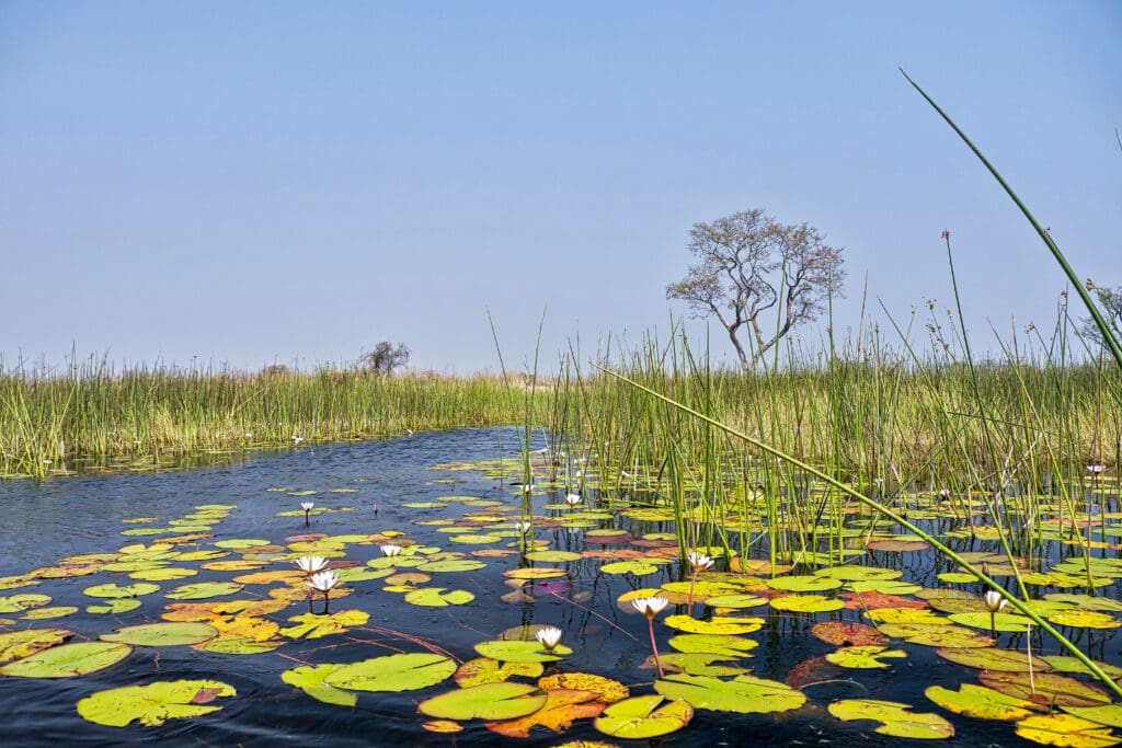
Enter the booming field of carbon ecology and management. You’ll be involved in understanding, monitoring, and managing carbon dynamics within ecosystems to mitigate climate change and foster environmental sustainability.
Professionals in this field develop strategies for enhancing carbon sequestration, advocating for sustainable land use, influencing policies, and utilizing nature-based solutions.
Wildlife
MPS in Wildlife Conservation and Advocacy
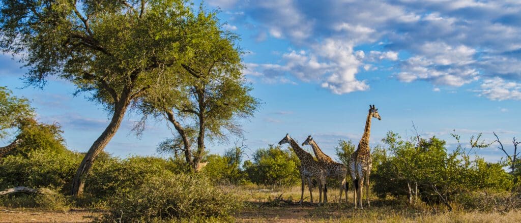
Uncover the crucial connection between understanding human behavior and conserving wildlife. Whether you’re already in the field, working with non-profit organizations, or have a passion for wildlife, your voice can be the one that makes a difference.
By the time you finish this degree, you’ll be ready to engage in campaign strategies, advocacy, and communication to promote wildlife conservation at local, national, and international levels.
MPS in Wildlife Ecology and Management

If you have a passion for wildlife and their habitats, Wildlife Ecology and Management is the path to your future. You can play a critical role in preserving wildlife, managing resilience ecosystems, and contributing to a more sustainable future.
When you finish this degree, you’ll be prepared to take on a leadership role in state and federal government agencies, conservation organizations, and research institutes to sustainably manage wildlife and their habitats, both locally and globally.
MS in Wildlife Ecology and Management

Blend your love for wildlife with cutting-edge management skills in Unity’s Wildlife Ecology and Management program. This degree combines ecological principles with practical conservation techniques to address habitat loss, species decline, and ecosystem restoration.
Pursuing a Wildlife Ecology and Management degree means committing to preserving biodiversity, shaping sustainable ecosystems, and making a lasting impact on wildlife conservation for future generations.

With five term starts per year, you can attend full time and finish your Master’s Degree in just 12 months. Or, take a course at a time to allow for work and family schedules. It’s up to you! Speak with an advisor to discover all of your options.

Unity Environmental University is an accredited institution by New England Commission of Higher Education (NECHE) with authorization to offer degrees in all 50 states and globally. This indicates that it meets or exceeds criteria for the assessment of institutional quality periodically applied through a peer review process.

Experiential programs are delivered 100% online with field work designed with the working professional in mind. Through immersive technologies, challenging field assignments and applied, real-world learning, you’ll be actively engaged in earning your master’s degree.

Mental health is reported as a top concern among college students today, and choosing the right environment can make a significant difference in your overall happiness and success. Stay close to home and lean on family and friends for support during challenging times. Receive Unlimited Wellness Counseling access with confidential 24/7 support and guidance from dedicated counselors at no additional cost.

With no set class times, you can learn when and where you want. Our online degree programs offer you the flexibility of 24/7 access from anywhere in the world. Start and stop as needed without jeopardizing your financial aid.

Get job placement assistance through our career services department. Connect with us for a personalized career counseling appointment, join us for a virtual workshop, find an internship or job on Handshake, and more.

All students receive one-on-one academic advising as our trained staff strive to make your professional and academic goals a reality. They are here to answer any questions you may have throughout your Unity experience.

Our students come from every state in the nation and around the world, giving them the opportunity to learn about each other’s environments. We also have a diverse nationwide Faculty with a network that fosters students’ ability to connect with other professionals in their field.
Why Choose Unity?
The master’s program at Unity Environmental University provides one-on-one advising, career support, and meaningful connections with our global network of alumni, businesses, and faculty. You’ll put your career on a track to meet the growing demand for green degrees. Increase your earning potential, better job security, and a greater ability to impact what matters to you with one of our degrees.
Know the Numbers
The demand for green skills and degrees is increasing every year. But how does the workforce meet that demand, and what does that mean for your long-term career goals?
*Source: LinkedIn: Global Green Skills Report 2023. Unity Environmental University cannot guarantee employment. Salary data represents averaged earnings for the occupations listed and includes workers at all levels of education and experience.

Academic Philosophy
Our online courses are 8-weeks long and designed by industry-leading subject matter experts in collaboration with our dedicated learning experience design team. This means that every course is held to the highest standards for academic rigor, sustainability skills, and application of learning outcomes.
As you progress through each course in your master’s degree, you’ll complete meaningful research-based projects and your professors will help you tailor your work to your career goals. During your capstone, you’ll work with potential employers to create a real-life solution to a pressing environmental issue, the finishing touch to your portfolio of work. See examples of past capstones submitted by Unity students.
Ready to learn which program is right for you?
Last Updated on July 25, 2024
